
Tuesday 8th June 2021
Cowpe Lowe, 440m SD 823 206
Warland Reservoir (Little Holder Stones, 420m SD 969 213
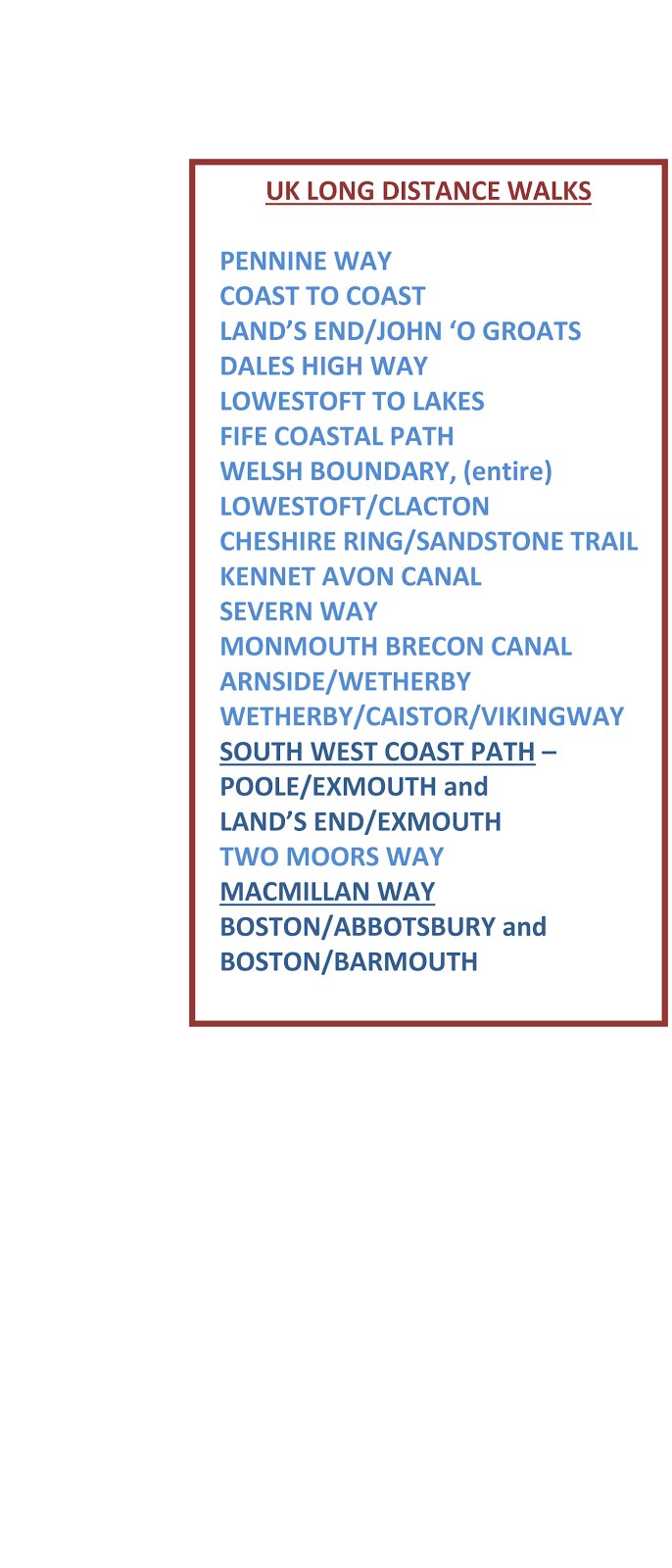
It takes over an hour to drive to the furthest points on OS sheet 103 to continue with my campaign to visit all 76 trig points on that map - here is a summary of progress so far and an indication of how the campaign has been organised.
 |
Red buoys = unvisited. Red person = visited Red straight line = the line I am following as closely as possible with Bowland Climber - Lockdown intervened - four more days to be planned to get to the sea on the east coast - red wiggly line is actual route taken, note how many unvisited trigs lay close to that line , oh dear! Blue straight = limits of Sheet 103 Blue route is approximate route of my Land's End John o'Groats walk residing on my Memory Map My aim today was to clean up from the south. Over the years, in this central semi-industrialised part of the Pennines I have encountered access problems more than usual - today my impressions were maintained. At Cowpe Lowe I set off up a public footpath marked on the map. After a hundred yards, with dogs barking in some kennels I was shouted at by a farmer, I was apparently walking through his farmyard although it was not recognisable as such. Even enlarging the 1:25 map on my phone it was difficult to determine where the path went, but arguably it did go slightly to one side of his premises for about thirty yards. After a bit of chat when he realised I wasn't a moron we became friends with him offering advice for my planned route. Steady climbing in hot weather on a mixed selection of paths intermingling with The Pennine Bridleway and other more local walks had me out onto moorland and up to the trig. I had passed some cows earlier sporting what looked like the chain-wheels from a bicycle threaded through their noses - see photo below - any suggestions? Views steeply back down to Waterfoot and more distant Bacup were rewarding. A middle aged walker arrived with her dog; she looked as though she had done a lot of walking and told me so. The little cocker spaniel, by tradition I was told, was lifted onto the trig. Pleasant chat informed me that her husband was a runner and ascending somewhere behind her but I never saw him on my descent It was a forty minute drive to get to Warland, south of Todmorden for my second ascent to the trig above Warland Reservoir. A large lay-by that I had researched on Google Earth gave access on the other side of the road to a path and locks on the Rochdale canal. Climbing up a surfaced road was steep and demanding in the hot weather. I came cross an unbelievable anti-farmer notice warning them to stop sheep going onto that land, but more of that later. Still following the public footpath on my map on this tarmac road the way was blocked by ten foot high security gates leading to a complex residence. I tried the intercom with no response. I entered the area by another gate leading to an adjacent house. I knocked but nobody came. I walked through the garden to the rear of the security defended house and found the owner. I showed him on my map the public right of way running through where we were sanding. He told me the path had been diverted nine years ago and I should have branched off through a gate a couple of hundred yards before his premises. My OS 1:25 is dated 2015* but according to this chap the diversion was made circa 2012 with no alteration on the map. I was told that he had erected signs but "walkers had torn them down." I returned down the road and found the gate where conventional footpath signs were affixed but it was well set back off the road and easy to miss, and in any case I had been following the route marked on my map. More climbing brought me up to Warland Reservoir and wonderful Pennine scenery. I met a young guy backpacking the Pennine Way which follows the reservoir on the way to Stoodley Pike and north. After crossing the end of the reservoir I could my trig painted brightly white amidst a cluster of rocks on the horizon, but there was no footpath and I had the best part of a kilometre each way over heather and tussock grass - hard going. The trig was atop one of several huge chunks of millstone grit carrying some strange dimpled weathering (or carving?) - see photo. I retraced steps and as I was near the final descent to the Rochdale Canal I was amidst a cluster of buildings with more of them off to my right. I chatted with a guy who turned out to be the owner of Warland Farm. He said if I went off to the other buildings to find Julie she would make me a cup of tea and so I did (Gayle take note.) I had been worrying that my reputation for these offers had been dwindling. I had my tea, a full pot with proper leaves and chatted with Julie and then with the owner David. Warland is a twenty acre farm which is being developed on a conservation, eco basis with huge numbers of tree planting, eco land management, and development of craft activities to create a mutual community and a facility to offer support for people with mental health difficulties. The aforementioned anti-farmer notice had been put there by Warland to protect their land; it seems yew trees are poisonous for livestock. I had planned to take in another trig a bit further north but time had run out but it was worth missing that for this interesting interlude. I drove back through through Walsden and into Todmorden on my way home. I have watched You Tube videos by model railway enthusiasts and this reminded me. The modellers only have limited space and desperately try to include everything, and so it was through this steep sided, industrial revolution influenced suburbia. Canals, viaducts, old mills and warehouses, aqueducts, rows of terrace houses all seem to have been dropped into these steep sided valleys at varying higgledy piggledy levels crating an identifiable landscape which has been taken to fashionable and residentially desirable development in nearby Hebden Bridge. * I have just corrected. It is the 1:25 that is dated 2015 that shows the route going through his property. My OS 1:50 is dated 2020 and to be fair it does show the diversion but I was using the 1:25 at the time. I have tried for ages to make this text the same as that at the start including removing formatting and everything else I can think of to no avail - so be it. |
 |
| Not really for reading, unless you can by enlarging. Just to show how I am organised. Grey background = trigs visited |
 |
| Approaching the forbidden farmyard just after the start for Cowpe Lowe |
 |
| An easier part of the ascent - rougher tracks followed |


 |
| Other cows sported similar - anybody know what this is about? |

 |
| Down into Waterfoot. The track is on the Pennine Bridleway |


 |
| Rochdale canal |


 |
| Approaching the security gates of the house in the trees |

 |
| Warland Reservoir. The Pennine Wy skirts that lefthand edge |
 |
| My trig shining white on the horizon (more white than the photo) |
 |
| Natural or man-made? |


 |
| Warland Farm |
 |
| Red route today. The pink is my original plot for Berwick to Castle Carey but I had no recollection of walking it. I did have variations to fit with accommodation |
 |
| Blue line is southern limit of Sheet 103 |


You get bonus points for an unsolicited pot of tea on a day walk, as distinct from a multigday when, I think, such offers are more likely.
ReplyDeleteAs for bagging targets you've passed at close range on your straight line walk, I can identify: the number of Marilyns I've visited having previously passed within a kilometre.
Google tells me that that nose ring is an weaning device - it stops sucklers from suckling.
Finally, your formatting looks absolutely fine on my RSS reader; it's only having come to your blog to make a comment that I can see the issue to which you refer in your note in red.
(sent from the M6 northbound as we head to Scotland. Fingers crossed for a few Marilyns 🤞)
Gayle - glad I'm not a suckler. You will be spoilt for choice with Marilyns up there.
ReplyDeleteThose anti-sucklers look a lot more painful for the cow than the calf. I guess the calf gets a quick kick when they try, so it works.
ReplyDeleteWell I’ve learnt something about cows! Love the photo of the spaniel on the trig.
ReplyDeletePaul H - Punk cows?
ReplyDelete----------------
Ruth - I don't think your learning will have influenced your wariness when cows are around. I'm with you: better stick to spaniels.
You save the best days for when you walk alone!
ReplyDeleteI was going to answer the cow question, so I'll answer the gritstone one instead - wind blown wet sand gets circulated gradually deepening the saucers.
BC - Thanks for the info. I was expecting a headline: "Octogenarian walker discovers mind-blowing Neolithic carvings changing the face of history."
ReplyDelete