My last post recorded our continued mission to walk the Lancaster Canal and the Ribble Link, and revealed my puzzlement regarding the continuation of the Ribble Link after the first tier of locks.
Two issues arise: my own failure to look at the scene properly on that visit, and secondly the limitations of the Ordnance Survey 1:50000 map.
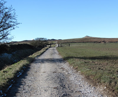
Our trip today started a kilometre down The Link from the aforementioned junction with the Lancaster Canal at the point where we finished last time. From that road bridge we followed a surfaced cycle path as far as practically possible. The Tarmac developed into a rough path which was terminated by a tributary flowing into The Link with no easy means of crossing, and no indication on the map that orthodox progress to the junction with the River Ribble a kilometre further was possible.
We returned by the same route then drove back to The Link junction with the Lancaster Canal to try and unravel the mystery.
Looking down the three tier locks and straight ahead the canal apparently continues as an unnavigable stream blocked by a fallen tree, but then we noticed a footbridge going off to the right halfway down the locks, and further examination revealed that the Ribble Link
doubles back acutely on itself immediately at the foot of the locks, to flow under the footbridge, followed, again immediately, by a tunnel going under the adjacent road (Tom Benson Way), and straight after this, on the other side of the road another tunnel takes the Link under the railway. A hundred yards or so after that tunnel the path joins the path shown on the OS map which we arrived at by a much more circuitous route last time (see my sketch map).
Chatting with a Waterways worker we were told that the boats are instructed to enter the acute bend at the bottom of the locks in reverse because the space available makes turning unreasonably difficult.
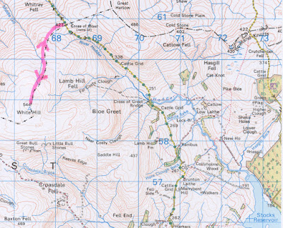
The enlarged OS map below shows a congestion of information, and that there is just no room for the mapmakers to indicate a footpath continuing under the road and the railway. Occasionally the 1:50000 map is just not up to the job, but I still much prefer it to the larger scale 1:25000.
Hopefully we will be out again next Thursday when we will complete this exploration of the Lancaster Canal, when, barring further navigational stupidity, we will arrive at the terminus in the centre of Preston.
 |
| The orange marker shows our route which was as far as we could proceed within reason |
 |
| These guys were not canal workers - they were employed just to lift these Waterways boats out and transport them - they were not very communicative |
 |
| There is a golf course on the other side |
 |
| This didn't look high enough for boats to pass underneath - another mystery? Oh no, don't let's start again! |
 |
| As far as we were prepared (in both senses) to go |
 |
| The apparent continuation of The Link from the top of the last of the three locks - the Savick Brook was blocked by a tree just after the second arrow. The Link doubles back on itself as indicated by the single arrow. The visible water is not conducive to easy turning of the boats and they go through the hairpin back right in reverse |
 |
Click to enlarge
The pink marker shows our original lengthy route.
The yellow marker shows the correct and shorter route
The red dots show public footpath as shown on the OS map |
 |
| The Link is running under this road. The tunnel under the railway is just beyond the end of the fence on the left |
 |
| The tunnel under the road and the tunnel under the railway visible behind |
 |
| Through the railway tunnel. The footpath shown on the OS map commences on the banking beyond, but it is a longer circuitous trip through a housing estate to get there from the Lancaster Canal |
 |
| Looking back at the three tier locks with The Link doubling back on the left. How we missed all that on our first trip I do not know |
 |
| The Savick Brook emerging through the tunnel - its continuation at right edge of picture is blocked by a fallen tree |
 |
Enlargement of OS map showing the difficulty of showing a footpath going through the road/railway area. The red dots of the two footpaths are visible which explains to some extent the route I took attempting to link them both together
PS - Previously when I clicked on a photo the whole sequence appeared as thumbnails enabling the viewer to see them all as a slide show. Now I seem to have to click each one individually, returning back into the post each time. Anybody got any ideas? |


