Sunday 16th January 2022
Swallow Scars SD748 518 283m
Woodhouse Gate SD 712 540 199m
Burn Fell SD 673 535 431m
At last a walk since before Christmas.
'Twas not much fun setting off in the dark at just turned 7:00am. But eventually there was enough light to appreciate one of the most spectacular roads in England which wends its way over the fells to descend to the source of the River Hodder through wild steep hills and moorland with the road twisting, turning, descending, and with blind summits every so often, and sheep wandering and the final steep descent into Slaidburn.
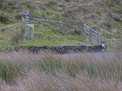
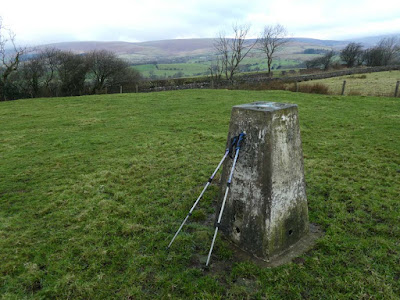
Swallow Scars was about four kilometres east of Slaidburn. With the car parked in a marginal lay-by it was over a stile twenty yards up the road and half a mile of rough swampy moorland and then a left turn to climb on drier ground to the trig now visible on the skyline - forty minutes there and back and then a drive to the west and north of Slaidburn for the next two trigs.
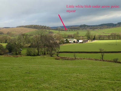
For Woodhouse Gate I was able to park at the entrance to a service road leading to some complex to do with the waterworks of Stocks Reservoir I think. A climb over a locked gate and a couple of hundred yards over a field brought me to a barbed wire fence with my trig only about twenty yards beyond. At first I thought I would have to settle for that. I then noticed a place where a barbed wire support post was leaning away from the normal wire fence with the post at an angle of about 30 degrees from the ground. I was able to crawl through to get in between the barbed and the normal fence wires and then stride over. I was well pleased with that achievement.
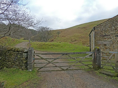
The start for Burn Fell was only a few hundred yards drive further up the road. I had researched for parking via Google Earth which showed a wide entrance to a cattle gridded farm road. When I arrived I was not too happy about the possible positioning of my car but then a dog walker appeared and asked if I was lost. She turned out to be the farmer's wife and pleasantly gave me permission to park indicating the appropriate positioning. I could have driven back the few hundred yards to the spot for Woodhouse Gate but this was better and by the time I got back to my car four hours later I was glad I hadn't any further to walk.
Pleasant downhill on the farm road took me through the farm and then onto a short stretch of uphill field and descent to arrive at the cul-de-sac road continuing for miles as Salter Fell bridleway over the tops and down into the Lune valley. The climb up the road was long and steep and I was feeling the strain after my long lay off from walking.
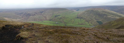
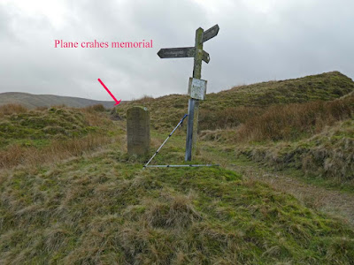
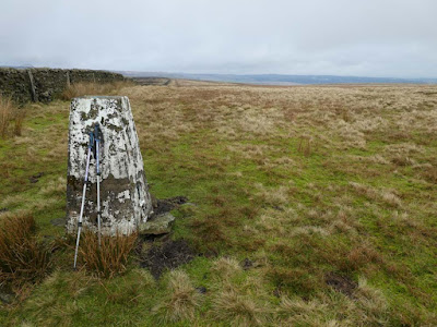
At the end of the tarmac a poignant stone memorial under a wooden finger post tells of various RAF planes that crashed on the adjacent hills during WW2. My path branched west leaving the Salter Fell bridleway. I climbed and climbed following a trough like path with a marginal stream and stones and I alternated between the stony trough bottom and the more pleasant grassy banks on the edge above. At the wall boundary of Dunsop Head I turned south to climb up to my trig. This had been a long relentless ascent. Memory Map tells me the total ascent for the day was 961 ft. Not quite comparable with Munroing, but enough for me these days.
The descent was much quicker. Halfway back down the cul-de-sac tarmac I suffered incredibly painful cramp in my inner left thigh. After various stretching and attempts to relieve I managed to walk on only to get a similar occurrence in my right thigh. The pain was intense but I found the best relief was to continue walking and to stretch that leg as far forwards a I could with each step and after a few minutes I was free of pain. The surroundings up on Burn Fell had seemed incredibly remote and wild as I sat there in my folding chair munching my sandwich and supping my coffee.
I now have only three more of these 76 trigs left to do. Two are in the Trough of Bowland to be done together. The final trig is at Crookrise Crag, a rock climbing climbing venue of old, and I have promised to do this, as and when, as a nostalgia trip with Bowland Climber.
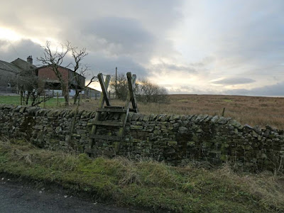 |
Twenty yards from the car - the path through swampy moorland to Swallow Scars trig. It twas about 9:00am, the light is still struggling
|

