Map browsing brought Scaleber Force to my attention. l made a plan to incorporate that in a walk. Google Earth confirmed marginal parking where the footpath leaves the road.
I pulled in there and thought the car was going to tip on its side, but all was well. Over the stile I went and into woods and a well worn path above a tree filled gorge with only a glimpse through the trees of this over celebrated attraction.
I retraced back to the road and after a dip to Scaleber Bridge I plodded up one and a half kilometers of steady uphill tarmac. To say this is not a significant through route for cars it was surprisingly well used, but that did not spoil splendid views of Attermire Scar to my left and looking back in the direction from whence I came, Ingleborough.
About a third of the way up I could hear talking behind me. That usually indicates approaching cyclists. I looked back and saw a chap pushing a heavily laden cycle and talking on his phone. I stopped and let him catch up. This guy was cycle/camping from Pitlochry in Scotland where his father lives to his own home in Hampshire. Huge paniers back and front must have contained enough to kit to get Hannibal and his army over the Alps. He had pushed all the way out of Settle! Even so heavily laden he was going faster than my breathless affliction would allow, but apart from that chat-stop I walked the one and a half kilometres to the high point at a steady pace without further stop. As I approached the summit I saw my acquaintance at last mount his bike and disappear, he must have pushed it for four kilometres.
I now left the road for footpaths downhill. After an electric fence with an opener and several hundred yards I took stock and realized I was following the wrong wall. I made a midcourse correction across easy going grassy and reed covered ground to meet up with my proper footpath, see the red line on the map below.
Once realigned I looked back across an attractive wild meadow with Rye Loaf hill, a recent ascent, dominating in the background. Pleasant walking on downhill sheep pasture followed and it was time for my coffee and sandwich. I used a stile as a seat and hoped nobody would need to use it when I had my camp established there, but I was now in a pretty remote location and had seen nobody since leaving the road.
I had been using my Merlin bird identification app and sadly it only managed to find skylark and meadow pipit. However after my lunch a flock of birds were perched on a wall and the app immediately identified them as starlings.
An interesting descent to an old ruined bridge and then more sheep pasture brought me to Bookliber Barn as marked on the map. The building is now converted to an opulent looking residence. It stands at the terminus of what is marked on OS as a "track." It turned out to be a well tarmaced but narrow road leading for about two miles to join back with the road close to Scaleber Bridge.
Halfway along this stretch I met and chatted with a chap and his Bernese mountain dog. He had recently had open heart surgery but was now walking several miles a day and seemed very fit. He carried on in the direction I had come from but later returned and passed me again demonstrating how slowly I am walking compared with the average walker. At one point this long winding road passed through a mini gorge which must have demanded much head scratching from those stone wall builders producing a network of walls looking like a portion of spaghetti dumped on a plate.
Attermire Scar was starting to look much closer and eventually this track/road joined my outward road only a couple of hundred yards from my car, This was an enjoyable walk, mostly across what I guess was rarely walked terrain with non stop views and fairly easy ground.
The contrast was marked as I drove back through thronging Settle only a couple of miles back down the road.
 |
| The stile to Scaleber Force off to the right. The angle of my car was more alarming when sat in than it looks here. When I opened the door its corner was only two inches from the road |
 |
| The best shot I could get of this shy and not all that impressive waterfall |
 |
| Looking back down some of the 1.5km. ascent |
 |
| Attermire Scar (click to enlarge) |
 |
| My cyclist acquaintance continuing his long push |
 |
| Leaving the road after the long ascent. It was from here I followed the wrong wall for a few hundred yards. |
 |
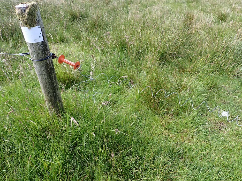
| Electric fence, thankfully furnished with a hooked up insulated handle. I have had shocks from these before and they are not funny |
 |
| Not surprisingly little indication of a footpath, I was off route! |
 |
| Now back on track and looking back at my recently ascended Rye Loaf Hill |
 |
| Descending with sheep for company. A small herd of young cows in the next field followed me but through curiosity I think rather than any threat |
 |
| Lunch stop |
 |
| Descent to the left down to the old bridge. Easy going through sheep pasture |
 |
| The starlings picked up on my bird app |
 |
| Bookliber "Barn" |
 |
| Labelled as a "track" by OS. Now 2kms. of tarmac |
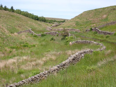 |
| Demented dry stone walling |
 |
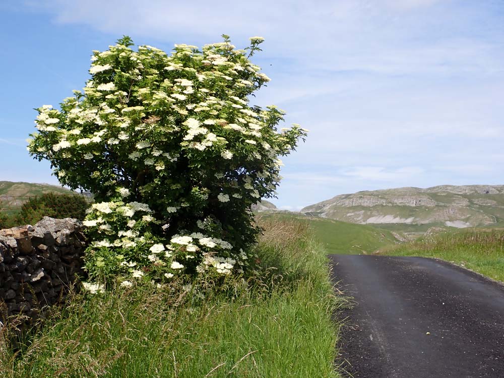
| My flora identification is woeful. Answers please. See also below for close up |
 |
| Still plodding on but not far from re-joining my outward road. Attermire Scar now closer ahead |
 |
| Start/finish at furthest north. Note red shows my incorrect wander |