Wedsnesday - 3rd November 2021
Jeppe Knave SD 761 379 - 215m
Black Hill SD 781 366 - 252m
Bank House SD 816 377 - 281m
Hollin Top SD 834 411 - 324m
Not a good start, but worse was to come. Three miles from home in the car I realised I had left my wallet including credit cards behind. That didn't matter because I had plenty of fuel, and sandwich and coffee, and would have no need to buy anything. However it is a blow to one's pride when one messes up like that, but I managed to take control and accept this as one of life's inevitable stumbles that afflict us all from time to time.
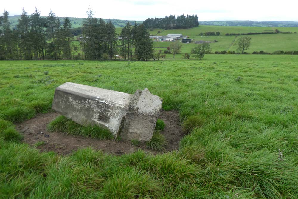
The footpath to approach the trig close to Jeppe Knave was opposite a convenient car park on the steep road leading down into Sabden. A squelchy march and then a tough ascent on pathless tussocky hillside had me at the trig. I took three photos which I was looking forward to seeing enlarged back at home. One was first sight of the trig with half of its bright white sticking above the horizon of the hill. From the trig I got a super zoom shot of the famous multi arch railway viaduct far down in Whalley where I had walked doing catch-up on with BC on our Wainwright's Way walk . I then got a dramatic zoom to Clitheroe's cement works with its constant plume of white smoke climbing high above the brutish scar of the works below.
A strange to me word usage comes to mind if I say it "seemed rude" not to visit Jeppe Knave's grave marked on the map a few hundred yards to the south west and there appeared to be a decent path so off I trogged.
The grave was a hole in the ground about twelve feet across on a grassy mound with a jumble of stone and boulders in the hole - Internet provides:
"According to the legend, Jeppe Curteys (Geoffrey Curtis), a highwayman was hanged for his crimes of robbery in 1327, and was subsequently buried here at this solitary spot (in a pre-Christian grave) on Wiswell Moor. "
From The Journal of Antiques where much more information is given including, fortunately for me, a photo.
I then trekked across completely pathless deep tussocky moorland climbing slightly over a shoulder then descending to pick up the lane from which I had approached the trig earlier, but quarter of a mile further west. It was here I discovered I had lost my camera (Panasonic TZ 80, replacement cost around £300.)
I tried as accurately as possible to retrace my route back to Jeppe Knave's where I had taken photos, a distance of about one third of a mile. My camera, by logic, must have been somewhere on that stretch. Back at the grave I went backwards and forwards three times on slightly different zig-zag courses between the grave and the hill's shoulder but to no avail.
I had been keeping the camera in a vertical zip, chest pocket in my Paramo jacket. I realised I must have stuffed it back in there, but missing the pocket so the camera would eventually work its way down and drop out of the bottom of my Paramo.
This time I was not able to overcome my self-censure and annoyance and the rest of the day was ruined.
I went through the motions of visiting the other three trigs and took photos "for the record" with my iPhone. Those three were visited by driving in between and none of them were more than a mile there and back and I have no motivation for describing them in more detail other than showing on the maps below.
Various circumstances are preventing me from multi day trips which I long for. Campaigns such as this 77 trig point capture are a dilution of proper multi day walking, but I have had some grand circular walks, but driving in between and jumping out to bag a trig only a short distance from the car is yet another dilution. I am not happy.
 |
| Black Hill |
 |
| Bank House |
 |
| Hollin Top. Strange red and blue facets |
 |
| Blue, my route. Red camera search. Straight red bottom right = Straight line sea to sea with BC with pink the actual grid line we were walking |